In March of this year the team at Sky Avenue embarked on a voyage aboard the Aurora Australis to Macquarie Island, a 30km-long world heritage area about halfway between Tasmania and Antarctica.
The trip involved rough seas, ship musters in icy winds, climbing down rope-and-plank ladders out of the ship, commuting from ship to island in inflatable rubber boats and amphibious vehicles, working in snow, hail, rain and shine, sleeping in dongas and dodging large and curious seals.
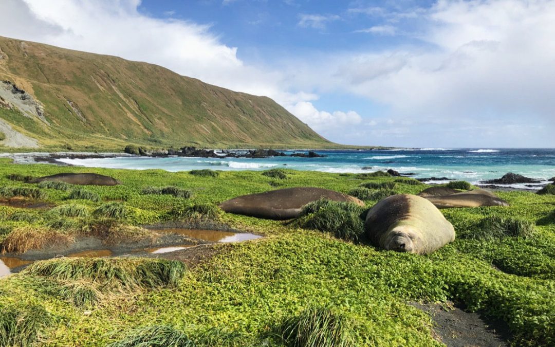
Despite the frigid temperatures and exhausting work, the rugged beauty of the island was undeniable. Amongst jagged ridges and sweeping valleys, windswept beaches covered in sea kelp and volcanic stones, the landscape hosts wildlife of all sorts – nesting gentoo penguins, piles of hibernating elephant seals, albatrosses, giant petrels, skuas, cormorants and many more seabirds.
Decked out in our Antarctic gear and gum boots with weatherproofed equipment, half our time was spent photographing this wild place and its research station, and the other half spent waiting out passing snow storms and trying to keep our hands from becoming too numb to work our cameras.

Our task was to document the research station facilities and surrounding area with 360 panoramic photography, for both historical and future design purposes. The finished virtual tour has 195 spherical panoramas including one aerial panorama, made up of thousands of images. This is one of our largest virtual tour projects to date, in our most unique (and southernmost) location, and the most challenging environment we’ve worked in.
The full version of the virtual tour was released for the Australian Antarctic Division in early April. As of today, we are excited to announce that a public version of the virtual tour is now available for everyone to view on the Antarctica website.
Click here to see the tour.
This tour includes highlights of the island’s natural beauty and history, the scientific facilities and the living and working areas of the station, the view from the Aurora Australis looking towards the island, and an aerial panorama overlooking the entire isthmus. You can navigate the tour using the arrows, map or menu on the left. Clicking or tapping on the ‘i’ icons on the panoramas brings up further images and information.
We hope this virtual tour of the island helps to educate the community about this incredible place and the people who have visited and worked there to further our scientific and environmental knowledge.


